
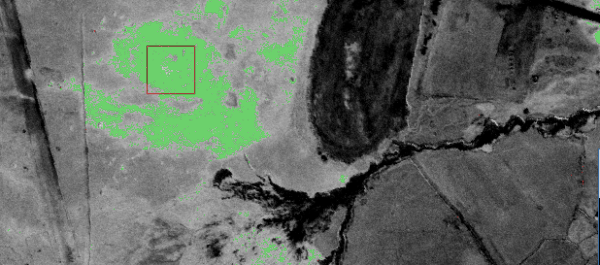

airborne mineral exploration research
AI predictor for metal contents in drill core and above
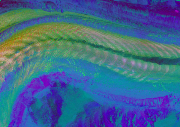
airborne measurement and modelling of above and below ground carbon with multisensory approach
Dimap supports research in a wide variety of projects, click here to see samples of recent publications
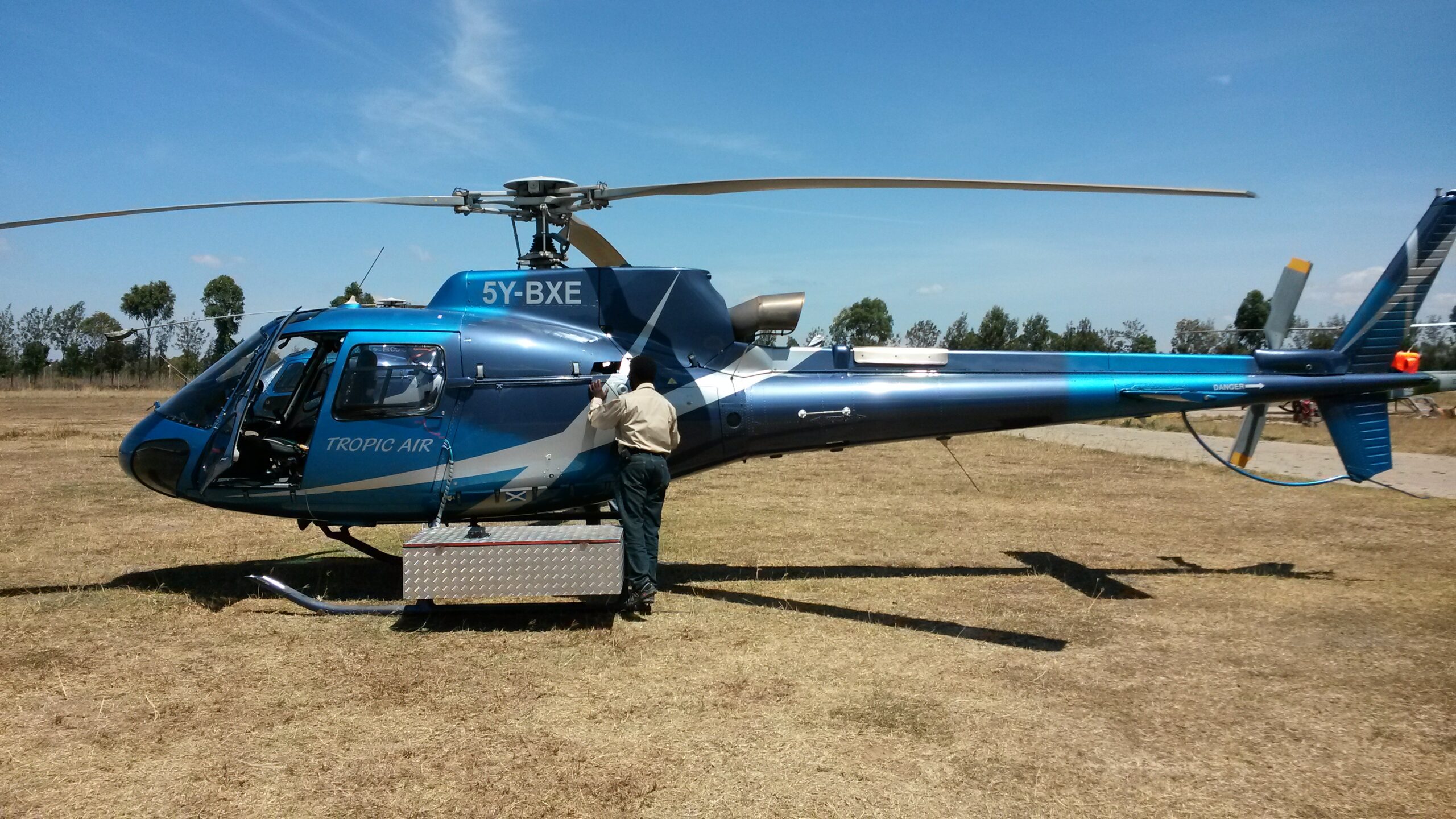
Dimap-Spectral GmbH is working worldwide on projects of all sizes using its sensors and is processing all data in-house in close contact with our clients. With offices in Hong Kong, Perth, and Santiago and long-term partners in many countries, Dimap can arrange for permits, logistics, flight operations, and processing of the data even under restrictive security conditions at any time and make sure your project stays on track.
Dimap will provide for your project with all your needs from:
◎ Support for the project planning and budgeting
◎ Detailed flight planning and arrangement of clearance and permits
◎ Data collection mission under AOC and with commercial drone and aircraft pilots
◎ In the area coverage and quality control
◎ Data processing to all required levels including reports
◎ Post-project support for three years