Case Studies Environmental Projects
Dust Pollution Mapping – Namibia
Objective of the Project:
The worldwide only smelter for copper processing ore containing arsen is based in Namibia north of Windhoek. For an study to clean and reduce the dust pollution Dimap was engaged to map typical dusts in their distribution over the area around the plant and to provide this data to the environmental consultants.
Technical Solution:
In a first phase in a ground study typical spectrograms for the main dust components were recorded in the surrounding of the plant. The data were then compared with lab samples for the same materials, recorded in the HK hyperspectral laboratory of Dimap.
In a second step Dimap was collecting data with airborne Hyperspectral sensors in the range between 400 and 2500nm with a pixel resolution of 50cm and 2m. The data were orthorectified and atmospheric corrected and afterwards processed with Mixed Tunes Matched Filtering and Spectral Angle Mapper to identify the abundance of the target materials within each pixels.
Achievements:
While the flight operations in the hot conditions were challenging the main dust pollutions could be mapped over the area. They are showing the effect of wind transport but even more of the transport based on truck traffic between the processing plant and the installations around like the railway station.
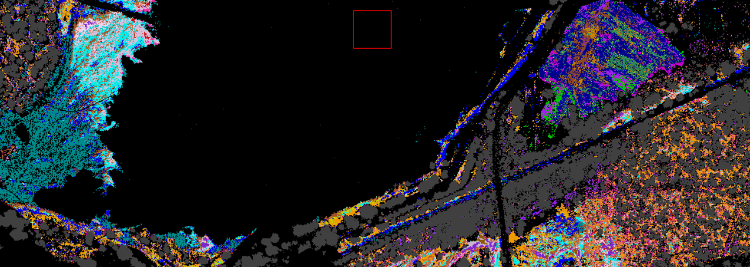
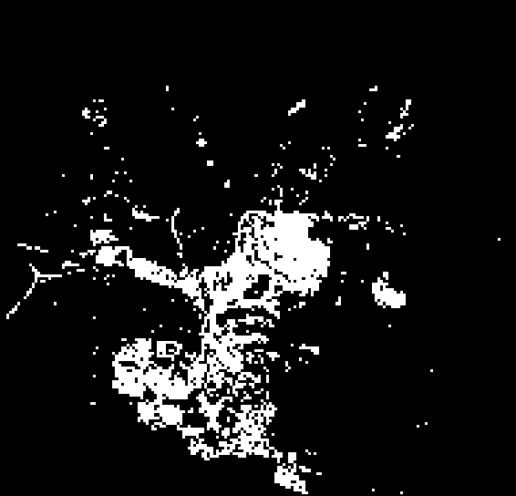
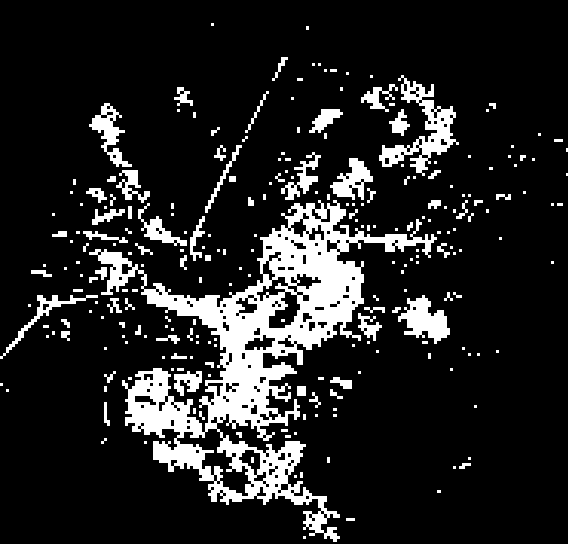

Figure 4: Top Material detection around Tiling Dams showing in the right top site a deposit of different plant waste and on the left site the open to wind transport materials of the tiling dam; little map showing distributions of different target spectra over the larger area with the plant in the centre and the urban area in the south. Infrastructures used by the plant are noticeable as well the centre of concentration of dusts around the installations and the railway station (red areas).
All copy rights with Dimap – 2014