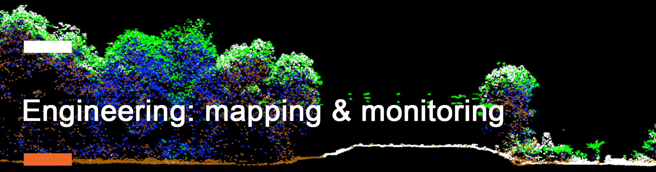
Engineering support
GIS application
- Generation of orthophotos, contours, and vector data sets for all common GIS and CAD systems
- Automatic and AI-based cadastral mapping and change detection on public and private properties
- Mapping of infrastructure and public assets including the incorporation of ground-based survey methods
Engineering and Smart Cities
- 3D modeling and support of planning systems
- Mapping of surface water systems and incorporation of drainage and stormwater systems, flood modeling
- Heat island analysis in urban structures including microclimate calculations based on 3-dimensional air flow models
- Power line mapping and monitoring of transmission and distribution lines
Environmental and sustainability
- Mapping of vegetation parameter, species, health, and stress in urban forestry
- Calibrated Biomass and Carbon estimation for solitary trees, groups, forests, and regions
- Identification of pollution and monitoring of risk areas